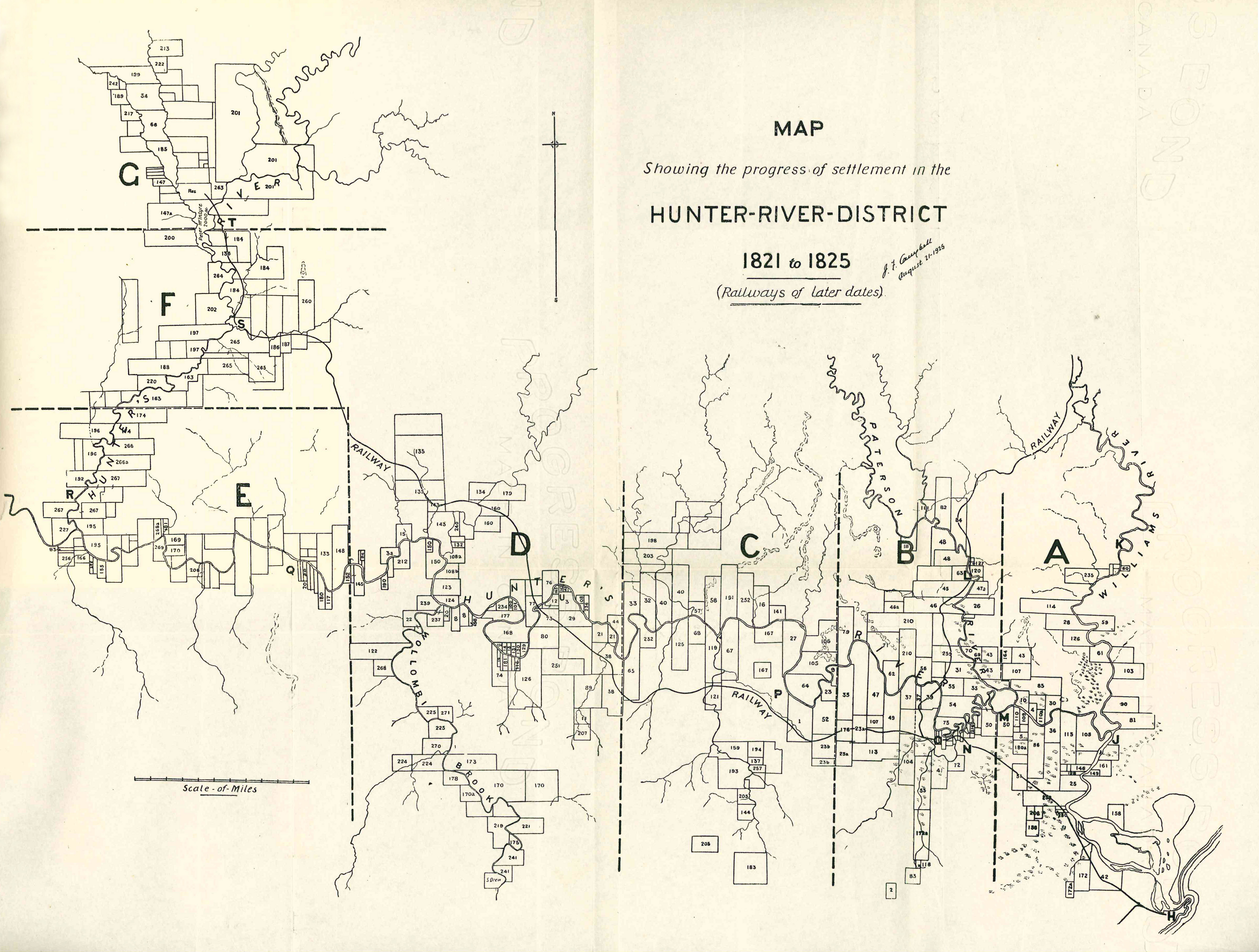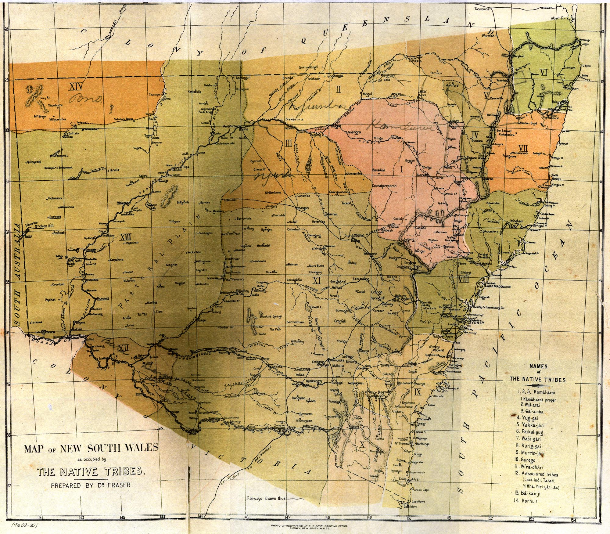
Historic Maps of Newcastle and the Hunter Region
January 31, 2018
To access historic maps and plans of Newcastle and the Hunter Region, click on the following links. Hunter Living Histories Mapping and Plans Category Posts https://hunterlivinghistories.com/category/mapping-and-plans/ Digitised Maps and Plans on the UONCC Flickr site “Map Treasures”: https://www.flickr.com/photos/uon/albums/72157627003398259 Or search “map” or “plan” on our UONCC flickr site. Or search “map” on our Living Histories … More Historic Maps of Newcastle and the Hunter Region