Mapping the Aerial Photographic Archive

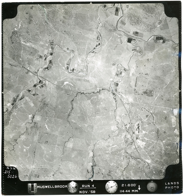
If you have Google Earth on your computer you can download a .KMZ file of aerial photographs from Camberwell overlayed on to a modern Google map. You can download Google Earth Pro here. Camberwell – Run 1C, 1967 (126MB)  Download .KMZ File HERE Camberwell – Run 2C, 1967 (117MB)  Download .KMZ File HERE Camberwell – Run 3C, 1967 (151MB)  Download … More Mapping the Aerial Photographic Archive

Aerial Photographs – Camberwell & Muswellbrook, NSW

Photograph – CAMBERWELL-01-1967-R004C-1481-5198 These aerial photograph refer to the Upper Hunter Region in New South Wales, Australia, taken in 1958 and 1967. The original photographs are located in Boxes C3014 and C3016 in Cultural Collections at the University of Newcastle.  Many thanks to Michael Paver who digitised these photographs at high resolution. Over 700 aerial … More Aerial Photographs – Camberwell & Muswellbrook, NSW

Newcastle from the air, circa 1928

[August 25,  2014 Update] Please find updated post with new high resolution scans courtesy of Greg and Sylvia Ray here: https://hunterlivinghistories.com/2014/08/25/newcastle-aerial-photos/   [August 2014 Update] We contacted Mr Phillip Warren who was able to shed further light on the origin of the images. The originals were held in the archives of the former A. Goninan … More Newcastle from the air, circa 1928