The Hunter District Water Board Plans of the 1890s
A Presentation to the Hunter Living Histories Initiative
By Mr. Russell Rigby

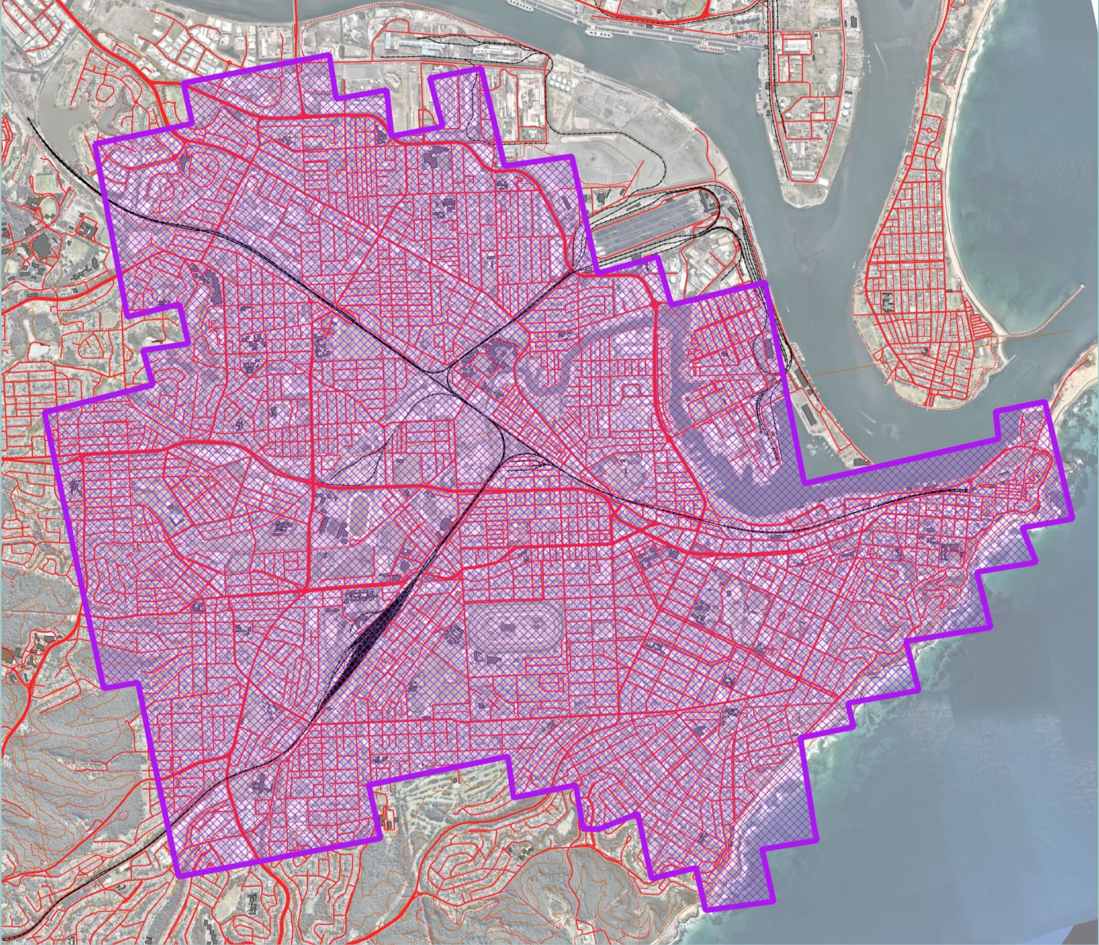
In the 1890s the Hunter District Water Board commissioned the Survey Section of the Land Department to produce a series of large scale plans of urban Newcastle, for planning purposes.

The first plans were produced in 1894, at a scale of 60 links to the inch (1:475). They show detailed footprints of buildings, and verandahs etc. and fence lines. Surface levels at each building were plotted, and 10 foot contours compiled.

Street numbers were shown, as well as the names of all public buildings and hotels. Also shown were wells, tanks and cisterns, and details of railway and tramway lines. Coordinates were given relative to the primary survey station at Warrawalong, in the Watagans.

The University of Newcastle’s Cultural Collections (Archives) possesses the scanned images of over 220 plans, of a possible 270 covering the Newcastle urban area west as far as Lambton. Some of the plans were updated to about 1920, but the collection still represents an invaluable historical asset.


The plans are digitised, but not on-line. We are looking at ways they can be presented at reasonable resolution, and if more available.
If you wish to support this project to financially please consider making a donation to the
Vera Deacon Regional History Fund.

The Vera Deacon Regional History Fund is our employment fund. It enables our student volunteers, who digitise this material in high resolution for us, to earn some paid work, whilst providing the wider community with free high resolution images. More details on the fund and the work it has been able to achieve are here:https://uoncc.wordpress.com/vera-deacon-fund/
Donations can be made online directly through this link here:
Click the downward arrow next to “I would like my gift to go towards” and select Vera Deacon Regional History Fund which is second from the bottom of the menulist.
Gionni Di Gravio
University Archivist, Chair HLH
one of the notable features of the 1890s maps is that the street numbers in Hunter St, Hunter Street West, and Blane Street correspond to the street numbers noted on the Snowball photos of the same period. The current street numbers are different because they were changed in the early 20th century with of the extension of Hunter St to the east past Watt St to Telford St, and the inclusion of Hunter St West into one set of numbers.