Aerial Photographs – Ravensworth, NSW

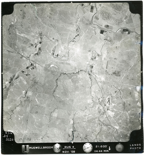
The following overlays are of Ravensworth Homestead in the Hunter region, showing the location of the early Homestead and extant buildings, nearby creek, roads and evidence of other possible structures. We have assembled some aerial photographs, maps and plan overlays on Google earth,  and specifically enlarged the section of Ravensworth Homestead to find out what … More Aerial Photographs – Ravensworth, NSW

Aerial Photographs – Camberwell & Muswellbrook, NSW

Photograph – CAMBERWELL-01-1967-R004C-1481-5198 These aerial photograph refer to the Upper Hunter Region in New South Wales, Australia, taken in 1958 and 1967. The original photographs are located in Boxes C3014 and C3016 in Cultural Collections at the University of Newcastle.  Many thanks to Michael Paver who digitised these photographs at high resolution. Over 700 aerial … More Aerial Photographs – Camberwell & Muswellbrook, NSW