What may have been our National Capital – Pindimar – M1590 – Pindimar City Map, Port Stephens, New South Wales. [c.1919]
Lecture notes for the students of the History and Theory in Architecture Second Year Course at the University of Newcastle (Australia) presented by Gionni Di Gravio OAM on the 9 August 2024.
What is Modernity?
Modernity is defined as the condition of being “modern” in thinking and practice. Views vary but it revolves around a relationship with time and history and how it is manipulated to escape the burden of tradition, in order to strike out with a new idea.

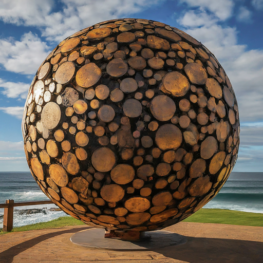
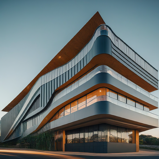
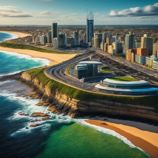
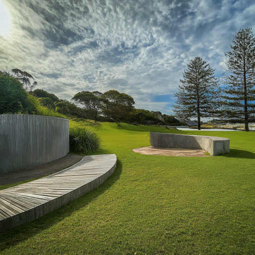
“Modernity” for Newcastle Mulubinba by Google Gemini AI
First Use of the Term “Modernus” in the West

‘My purpose is to plait together into one braid what ancient tradition has made available for proper use by modern custom, and to make it quickly and easily accessible. It is right to omit in this enterprise what is of merely antiquarian interest, so as to avoid requiring unnecessary and anachronistic labour, useless in the present age.’
Ref: https://assets.cambridge.org/97805215/17461/excerpt/9780521517461_excerpt.pdf
In the East, we have an even earlier use around 221 B.C.E. with the arrival of concept of “Empire” in China, and a new era of Qin as emperor ushering in a total rejection of the past and the elimination of all previous dynastic cycle. Therefore there was no more need for history. Listen:
Dictators and Despots (and Colonisers) Like “Modernity”
So, we can see recent examples of this idea of modernity manifest with the rise of fascism with the proclamation of Mussolini’s Year 1 in 1922; Hitler, with his new “modern” era of the Third Reich in the 1930s; and Pol Pot in Cambodia in the 1970s and so on and so forth. And with it came its own architectural forms and motifs.
They either obliterate history altogether, or suck up all civilisations that have come before, as if these cultures only purpose was to be a stepping stone to the current regime.
You can see this crafting of a narrative in the promulgation of the British Empire, the overarching history books printed for the British audience that absorb a myriad of cultures such as the Babylonians, Egyptians, Persians etc etc up until the British Empire, as if these peoples had any idea what a “British Empire” would one day be. We’ve seen the same practice in the America era with encyclopedic publications such as World Book Encyclopedia that again provide a skewed perspective of the world, with the over emphasis on the United States and its history.
So, imperialism likes the idea of “modern” as either the complete elimination of history, or the cherry pick use of it to justify its supreme status at the end of an societal evolution.
The arrival of Lieutenant James Cook in 1770.
The Age of European scientific revolution and colonial expansion reached Australia in 1770, with the arrival of Lieutenant James Cook.
(Captain Cook incidentally was Gene Roddenberry’s inspiration for Kirk in Star Trek; i.e, Captain Cook = Captain Kirk; the Endeavour = the Enterprise, and Joseph Banks = Dr Spock)
The key to navigation was a knowledge of the stars. The southern heavens had not been mapped sufficiently to be able to navigate the vast distances of open ocean. Using the scientific global collaboration of the Transit of Venus, Cook was able to use this astronomical knowledge to expand the navigational and trade opportunities of British imperialism.
https://www.bbc.co.uk/sounds/play/p003c1cd
Tupaia: Polynesian Navigator
Once Cook had measured the transit of Venus at Tahiti, he then opened a envelop with secret instructions to locate the terra incogita, uncharted land, the great southern land. With him he had a Polynesian navigator Tupaia, who assisted Cook in mapping the Pacific Ocean, enabling the British to reach New Zealand and Australia (New Holland).
Learn more about Tupaia:
The forgotten story of Tupaia, the star navigator who helped James Cook reach Australia (ABC Radio National)
https://www.abc.net.au/news/2020-04-07/tupaia-star-navigator-helped-captain-james-cook-reach-australia/12092008
Tupaia’s Chart of the Pacific (Captain Cook Society)
https://www.captaincooksociety.com/cooks-voyages/first-pacific-voyage/tupaia-s-chart-of-the-pacific
Learn more about astounding knowledge and techniques of Polynesian navigators here:
“At 6 Possession is Taken of this Country”
Sometime between the 20-22 August 1770, Lieutenant Cook took possession of the entire Eastern Coast of New Holland, which he named NEW SOUTH WALES, and what was to be later known as Australia. This began the mistaken notion of Australia as a land of no one (terra nullius), despite him describing Aboriginal people everywhere. The taking of country from Native peoples without some kind of treaty or negotiation was illegal under British Law, so it beggars belief what fueled all this? Perhaps the fear that the French would take possession of the Great Southern Land instead.
Cook writes:
“As I was now about the quit the eastern coast of New Holland, which I had coasted from latitude 38 to this place, and which I am confident no European had even seen before, I once more hoisted English colours, and though I had already taken possession of several particular parts, I now took possession of the whole eastern coast, from latitude 38 d. to this place, latitude 10 ½ S. in right of his Majesty King George the Third, by the name of NEW SOUTH WALES, with all the bays, harbours, rivers, and islands situated upon it: we then fired thee vollies of small arms, which were answered by the same number from the ship. Having performed tis ceremony upon the island, which we called POSSESSION ISLAND, we reembarked in our boat..”
The 50,000 Year Ancient Human Footprint of Aboriginal Australia
The people Cook was seeing and describing were the Aboriginal peoples of Australia, with a long history stretching back thousands of years.
In 2017 mitochondrial DNA analysis research undertaken on the hair samples of Aboriginal peoples collected by Tindale in the 1920s-1930s was officially released. For our neck of the woods it showed that our Aboriginal First Nations human footprint dated back around 47,000 years.
Resources:
- Background on Mitochondia DNA BBC Radio 4 – In Our Time, Mitochondria
https://www.bbc.co.uk/programmes/m001md34 - Aboriginal mitogenomes reveal 50,000 years of regionalism in Australia Nature article on the analysis of mitochondrial DNA analysis of the hair samples taken during Tindale’s 1920s-1930s expeditions. Research was conducted with consent of descendants. https://www.nature.com/articles/nature21416
- DNA from ancient hair sample confirms Aboriginal Australians’ ties to country – Australian Geographic News: https://www.australiangeographic.com.au/news/2017/03/dna-from-ancient-hair-sample-rewrites-aboriginal-history/
The Arrival of “Modernity” to Newcastle/Mulubinba and Port Stephens 1790s – 1800s
To the Aboriginal people, first contact with whites, appeared to them as ghosts of ancestors.
“They told a ridiculous story, that the natives appeared to worship them, often assuring them, when they began to understand each other, that they were undoubtedly the ancestors of some of them who had fallen in battle, and had returned from the sea to visit them again ; and one native appeared firmly to believe that his father was come back in the person of either Lee or Connoway, and took them to the spot where his body had been burnt. On being told that immense numbers of people existed far beyond their little knowledge, they instantly pronounced them to be the spirits of their countrymen, which, after death, had migrated into other regions.”
Read more:
Port Stephens as it looked on 16th March 1795 (Aboriginal/European First Contact)
Shortland 1797
The Discovery of a “Very Fine Coal River”

“J. Shortland, Jun., To J.Shortland, Sen.
HMS Reliance, Sydney Cove, Port Jackson,10th September, 1798.
My Dear Father, About a twelvemonth since I went on an expedition in the Governor’s whaleboat as far as Port Stephens, which lies 100 miles to the northward of this place. In my passage down I discovered a very fine coal river, which I named after Governor Hunter. The enclosed I send you, being an eye-sketch which I took the little time I was there. Vessels from 60 to 250 tons may load there with great ease, and completely landlocked. I dare say, in a little time, this river will be a great acquisition to this settlement. The short time I remained at this river we had rain, which prevented my doing so much as I otherwise should.
J. Shortland”
Barrallier 1801
First thorough survey of the rivers of the Hunter Region, these map making magical lines all taking possession of the land and its peoples.
What to Exploit?
The purpose of the 1801 Survey Mission to Hunter’s River, was to identify what the British could exploit from Newcastle and the Hunter Region. We know of at least two survey completed of the river systems by Ensign Francis Barrallier, one held in the Archives of the United Kingdom, the other in the Hydrographic Office in Kew.
Firstly, New South Wales (or the Eastern Coast of Australia) was a prison for British convicts; Newcastle was established in 1801, and later (permanently) again in 1804 as a “gaol within a gaol” for the worst of the worst.
Then, the resources to extract, were:
- coal (from the coal mines under present day Fort Scratchley), see: https://hunterlivinghistories.com/2016/04/15/convict-mines/
- lime (from the shell middens on Stockton)
- cedar (that lined the rivers of the Region)
- salt
Australia in the 1840s
![Australia [Map] Drawn and Engraved by W. & A.K. Johnston. [c.1840]](https://hunterlivinghistories.com/wp-content/uploads/2014/05/1840-mapofaustralia-a5762.jpg)
The Tools and Infrastructure of Colonisation and “Modernity”
“Architecture” and “Archives” all derive from the same ancient Greek root word for archon meaning “ruler”, or “the first”.
The records are not kept with the gaoled, but with the gaolers.
Architecture of colonisation included the opening of coal mines, construction of wharf, port infrastructure to enable coal ships in and out, convict lumber yard, limeburning kilns, military barracks, houses, hospital…these are the architectural needs of the rulers.
The tools of colonisation are:
- capture of land – mapping and surveying, if you can draw it, it’s yours!
- 0ppression of the Indigenous Inhabitants
- language – elimination of ancient languages embodying 47,000 years of lived experience, or forcing translation into a relatively young tongue of English, the language of business, can destroy subtle understanding of how to live on this land and properly look after it for future generations.
Here’s an example of the coal infrastructure of the Newcastle Port, as it developed into an engineered living organism
The Australian Commonwealth 1925

Modernity into the Future
Everyone likes to be “modern” but we are all made up of history and historical decisions. It is an illusion to think we can move forward without history. The irony is the more we refuse to acknowledge history, the more locked in time we become. Despotic regimes come and go. And we must always be ready to recognise its processes when it again occurs. Never trust anyone that does not respect history and the wisdom of the ancients.
Links to Resources
- Living Histories Digital Platform
https://livinghistories.newcastle.edu.au - Hunter Living Histories
https://hunterlivinghistories.com/ - The Search Everything Button
https://libguides.newcastle.edu.au/ccservices/search - This searches across everything online, except out YouTube Channel here:
https://www.youtube.com/@UoNCCnewcastle/videos - As student from the UON you have access to the Linius Whizzard to assist with finding videos:
https://whizzard.linius.com/search
Final Word to the Students
All these archives and records the deeds of dead guys, they are no longer with us. You, on the other hand are alive, and your book is still being written. You are here to write the next chapter in these stories. So tell us how the story goes, and if you do some sensational stuff, some archivist in the future will archive you in perpetuity as well!
2 thoughts on “What Is “Modernity” for the 50,000 Year Lived Experience of Newcastle Mulubinba (Australia)?”