Visual Index to Hunter Valley Aerial Photographs
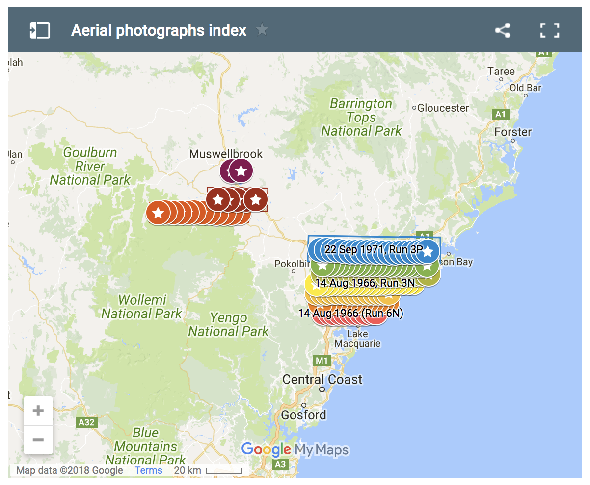
Lachlan Wetherall, in a digital project similar to his historical maps visual index, where he created a visual index to hundreds of our subdivsion plans located in flickr, has now put together another index to the aerial photography that has been recently digitised by our volunteer Jessica Waugh in the GLAMx Digitisation Lab from the … Continue reading Visual Index to Hunter Valley Aerial Photographs
3 Comments